Located in the narrowest neck of the Bering Strait between Alaska and Siberia, the Diomede Islands present one of the most remarkable geographic, geopolitical, and chronometric boundaries on the planet.
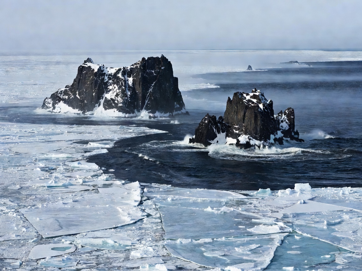
Big Diomede vs. Little Diomede
The pair consists of two rocky granite islands:
- Big Diomede (Tomorrow Island): Sovereign territory of Russia (Chukotka Autonomous Okrug). It is uninhabited by civilians and serves as an official Russian border guard station.
- Little Diomede (Yesterday Island): Sovereign territory of the United States (State of Alaska). It hosts an indigenous Iñupiat village with approximately 80 residents.
The 21-Hour Time Gap & Winter Ice Bridges
Between these two islands passes both the maritime boundary of the US-Russia convention of 1867 and the International Date Line. Because of the timezone definitions, Big Diomede is 21 hours ahead of Little Diomede (23 hours difference during daylight saving time shifts).
Looking across the 2.4-mile gap from Little Diomede means looking not only at another superpower's sovereign soil, but literally looking into "tomorrow." During severe winter freezes, an ice bridge forms over the ocean water, making it physically possible to walk across time and national borders, though strictly forbidden by international security law.