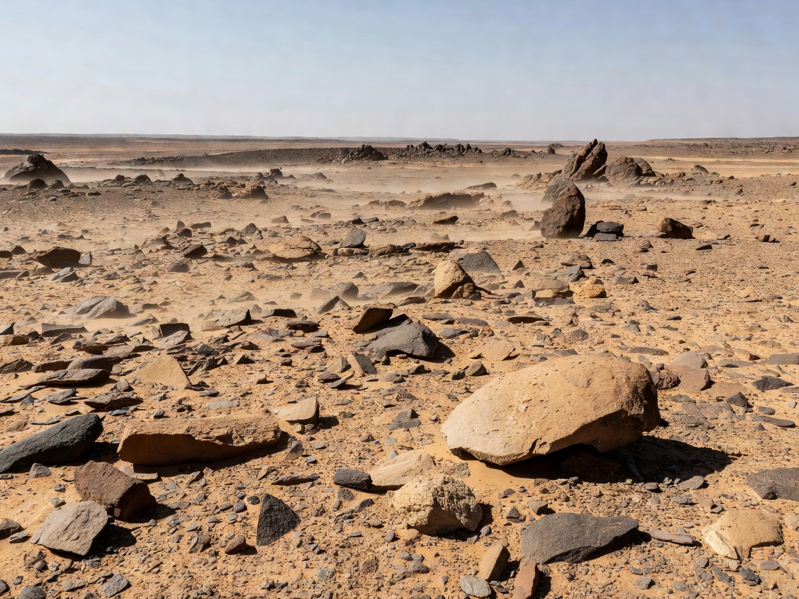
Situated between the southern border of Egypt and the northern border of Sudan lies Bir Tawil—a 2,060 square kilometer (795 sq mi) trapezoidal region of mountainous desert. It is one of the extremely rare habitable land areas on Earth not claimed by any recognized sovereign state.
The Discrepancy of 1899 and 1902
The status of Bir Tawil arose from conflicting Anglo-Egyptian treaties. In 1899, the United Kingdom established the political boundary along the 22nd parallel north, placing Bir Tawil inside Sudan and the fertile, mineral-rich Hala'ib Triangle inside Egypt.
However, in 1902, the British drew an "administrative boundary" that reflected tribal land use. This adjustment assigned Bir Tawil to Egypt (used by Ababda nomads) and the far more valuable Hala'ib Triangle to Sudan (used by Beja nomads).
The Legal Dilemma: Why Neither Country Wants It
Under international law, claiming Bir Tawil requires adopting one of the border lines. Because the Hala'ib Triangle is 10 times larger and possesses coastline on the Red Sea plus oil and mineral deposits:
- If Egypt claims Bir Tawil based on the 1902 line, it must concede the Hala'ib Triangle to Sudan.
- If Sudan claims Bir Tawil based on the 1899 line, it must concede the Hala'ib Triangle to Egypt.
Consequently, both nations officially insist that Bir Tawil belongs to the other, leaving the territory legally defined as terra nullius (nobody's land).