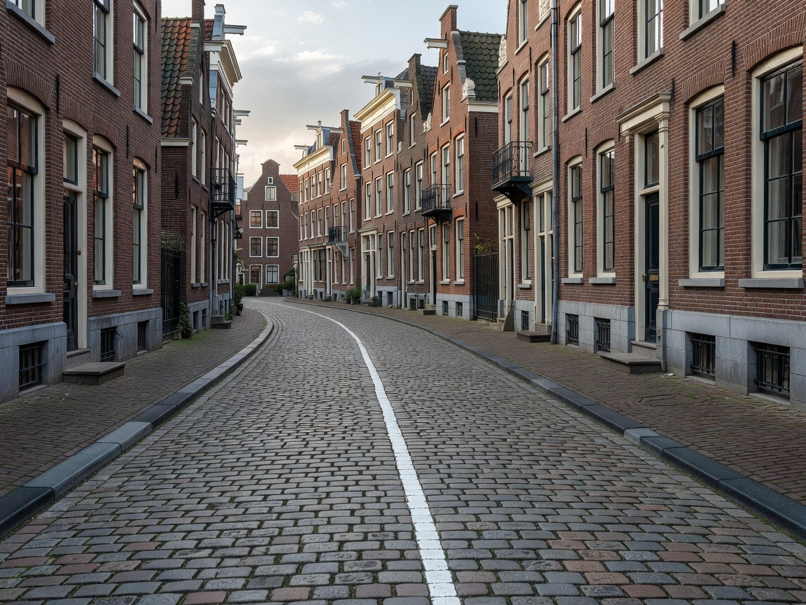
 Enclave Complex
51.4431° N, 4.9317° E
Enclave Complex
51.4431° N, 4.9317° E
Baarle-Hertog & Baarle-Nassau
The most intricate border puzzle on Earth. 22 Belgian exclaves inside the Netherlands, containing 7 Dutch counter-enclaves inside themselves.
Read Full Dossier →From buildings sliced by international lines to unclaimed desert terra nullius and 3rd-order counter-enclaves. Welcome to cartographic surrealism.
Enclave Complex
51.4431° N, 4.9317° E
The most intricate border puzzle on Earth. 22 Belgian exclaves inside the Netherlands, containing 7 Dutch counter-enclaves inside themselves.
Read Full Dossier →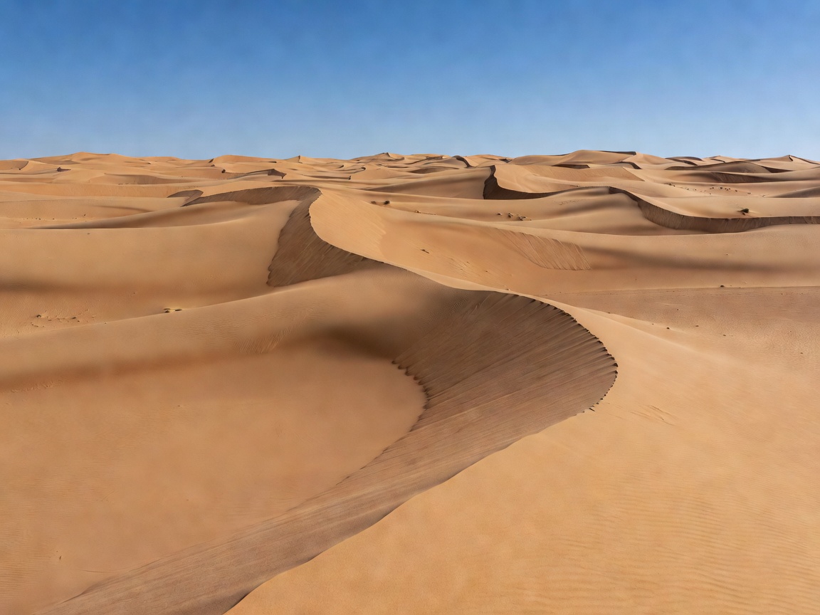 Terra Nullius
21.8700° N, 33.7300° E
Terra Nullius
21.8700° N, 33.7300° E
A 2,060 km² patch of North African desert that neither Egypt nor Sudan claims due to conflicting 1899 and 1902 treaty maps.
Read Full Dossier →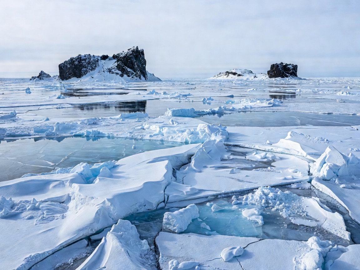 Date Line Frontier
65.7803° N, 168.9220° W
Date Line Frontier
65.7803° N, 168.9220° W
Two islands 2.4 miles apart in the Bering Strait separated by the US-Russia border and a 21-hour time difference.
Read Full Dossier →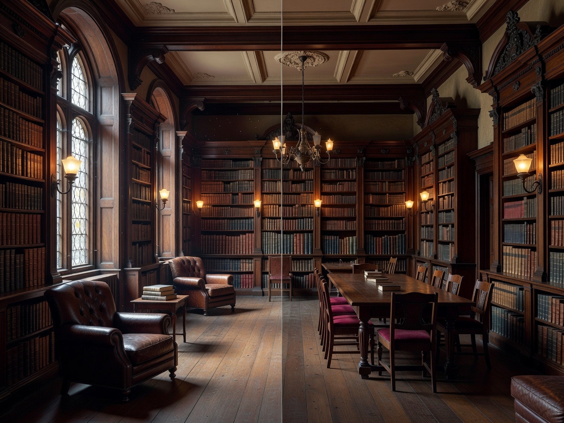 Divided Building
45.0058° N, 72.0978° W
Divided Building
45.0058° N, 72.0978° W
A 1904 historic building intentionally constructed on the US-Canada boundary line where patrons read books across international borders.
Read Full Dossier →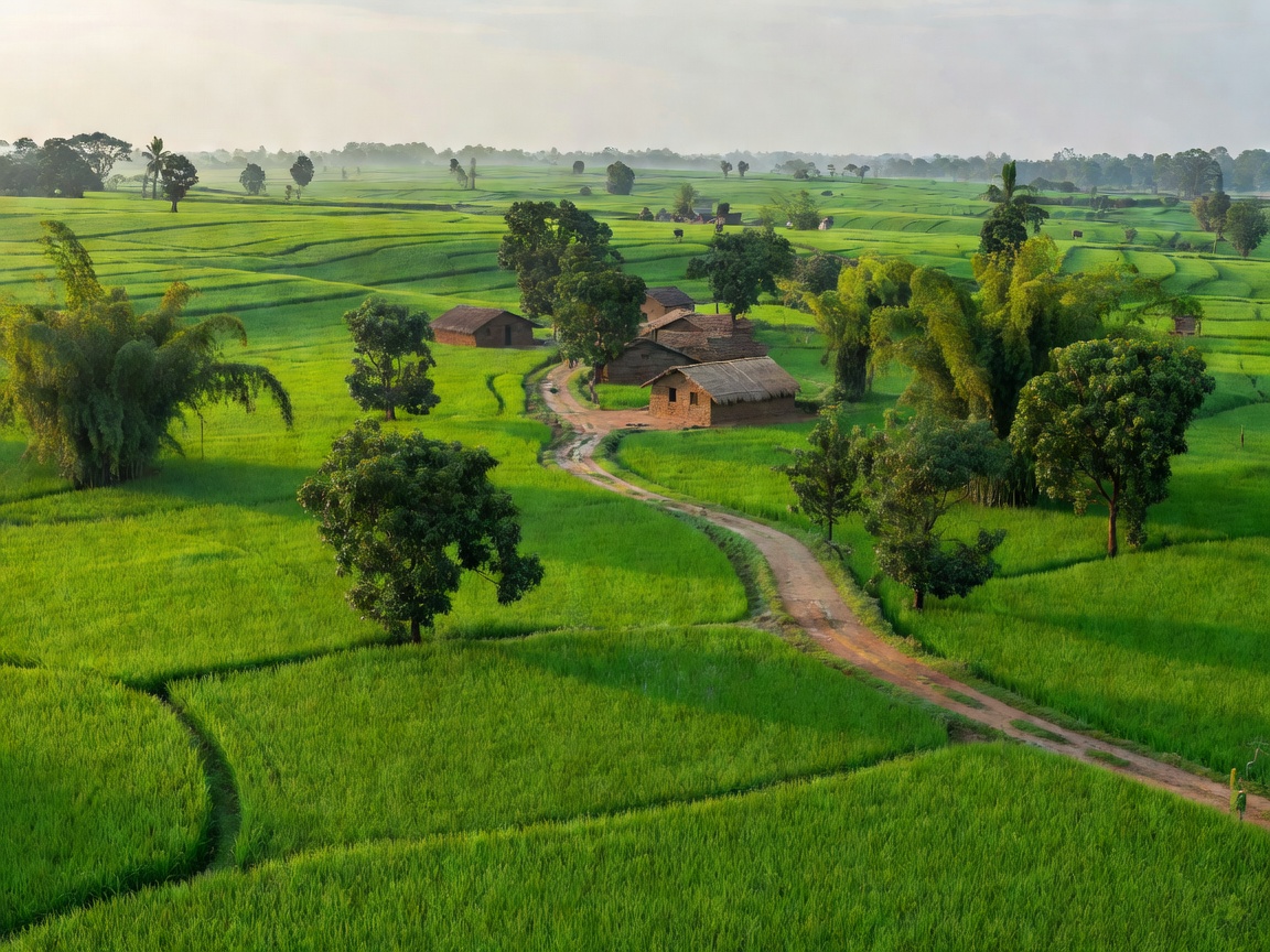 Counter-Enclave History
26.3241° N, 89.4510° E
Counter-Enclave History
26.3241° N, 89.4510° E
The history of the world's only 3rd-order enclave—an Indian enclave inside a Bangladeshi enclave inside an Indian enclave inside Bangladesh.
Read Full Dossier →